
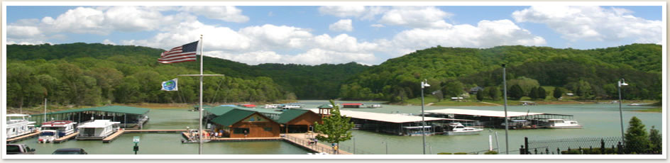
Norris Lake Maps
Norris Lake Info.com offers High Quality Maps.

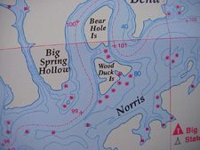
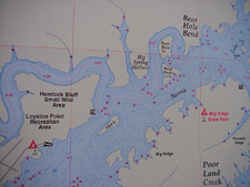
These High Quality Maps are printed on a waterproof, bouyant and tear resistant material. Each has a lat/long grid and GPS coordinates also showing lake facilities including depths, marinas, boat ramps, campgrounds, river miles, river channels, and fish attractors. Fishing tips and techniques are included. Size - 24 x 36.
*A percentage of the proceeds from these maps go towards Lake Clean-up Projects!!
